

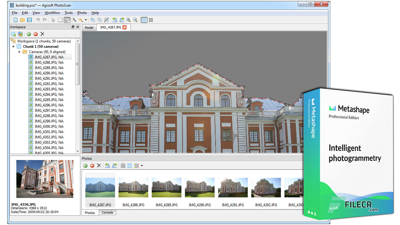
Agisoft Metashape software is quite familiar in the surveying world and is used for its features as well as the safety and accuracy of geodetic data.
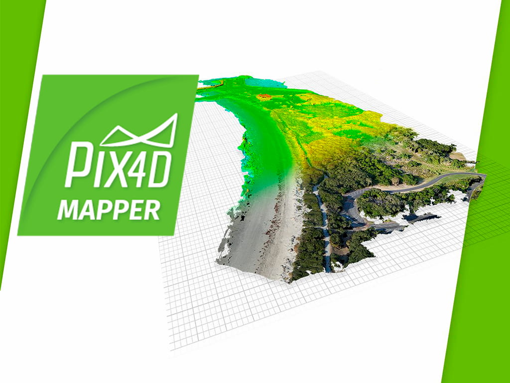
Pix4Dmapper for processing geodetic data is one of the most advanced software available today. Pix4D provides two main functions: compositing floor images and building elevation models with high accuracy