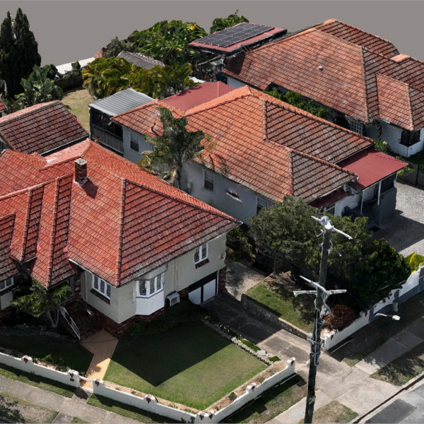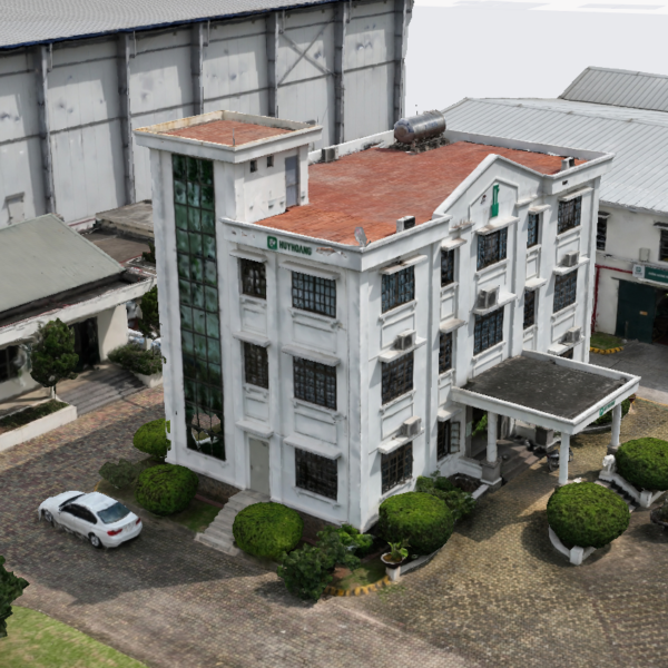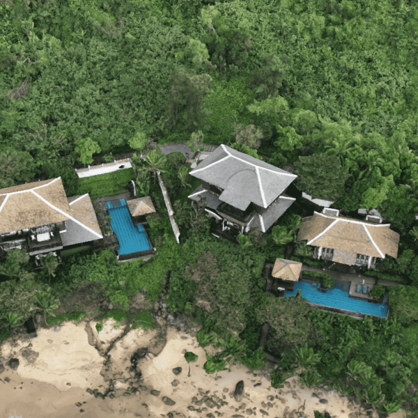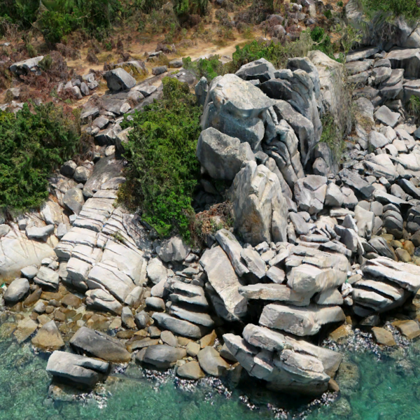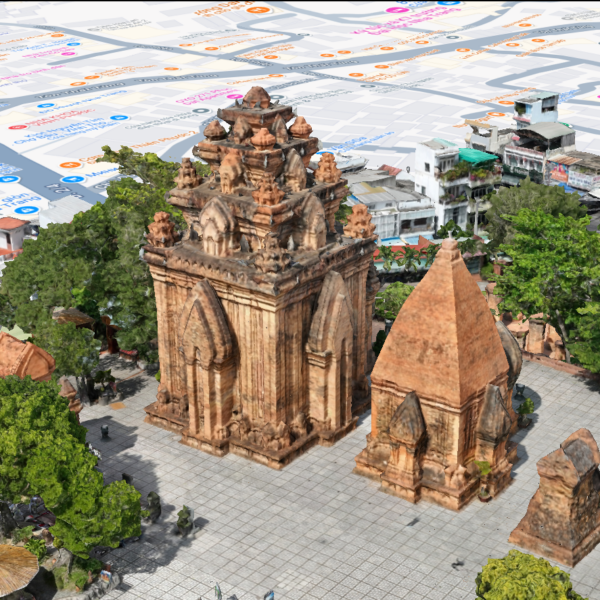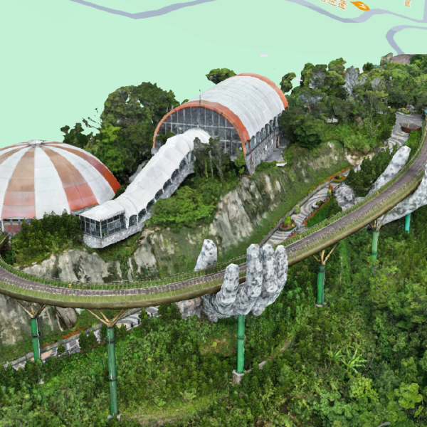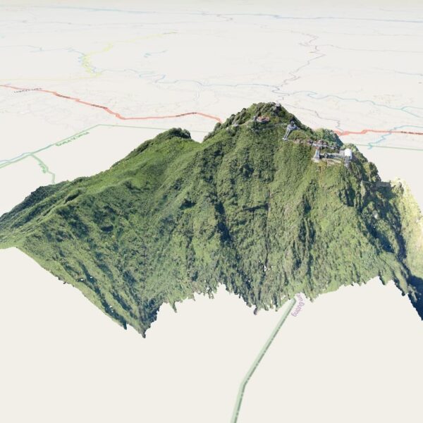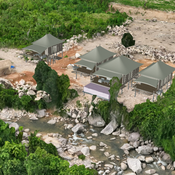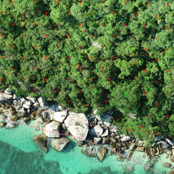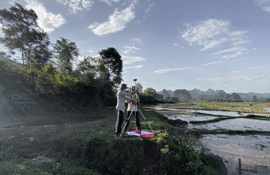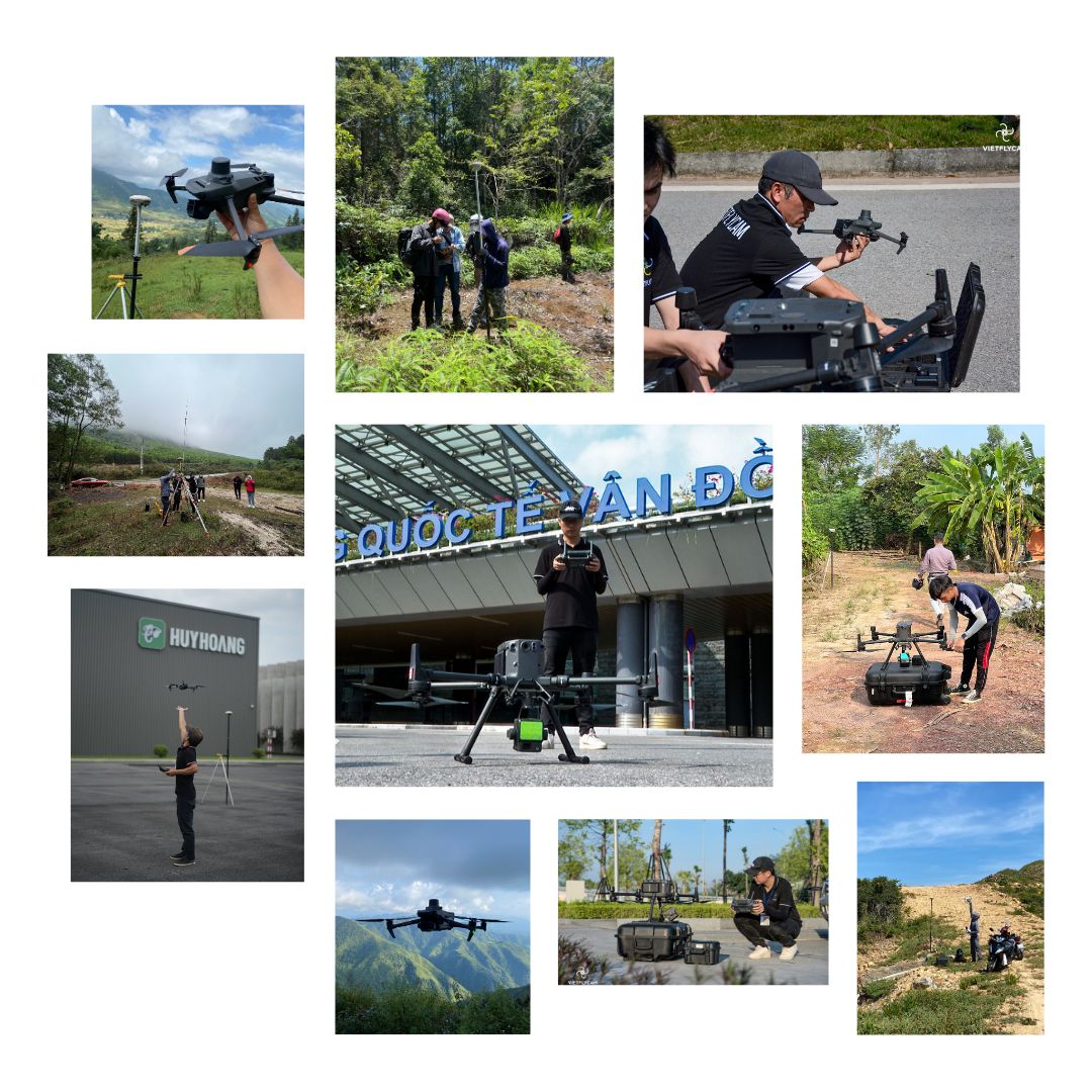
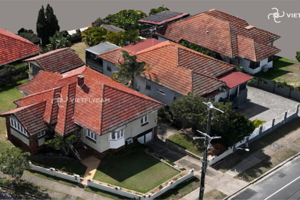
Survey for 3D drawing creation
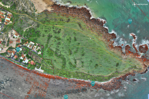
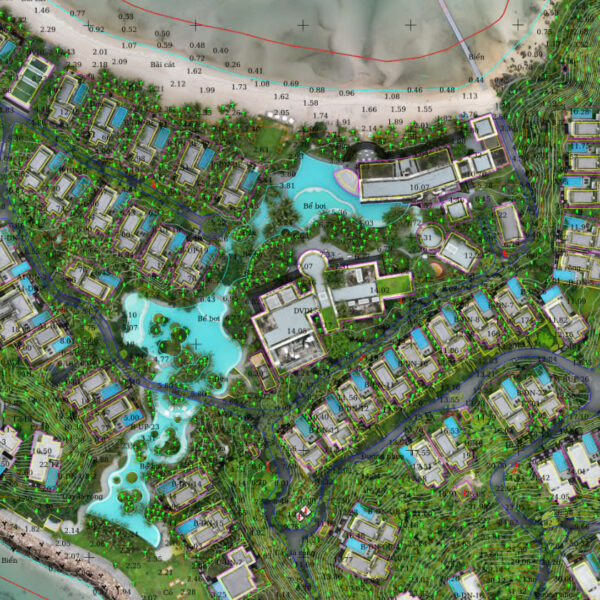
Survey for 2D drawing creation
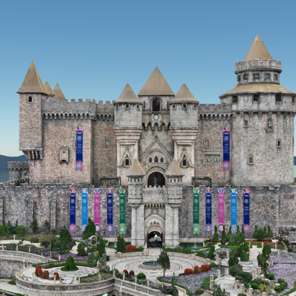
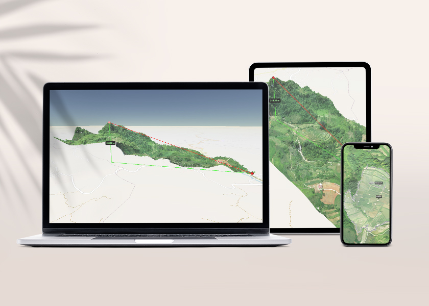
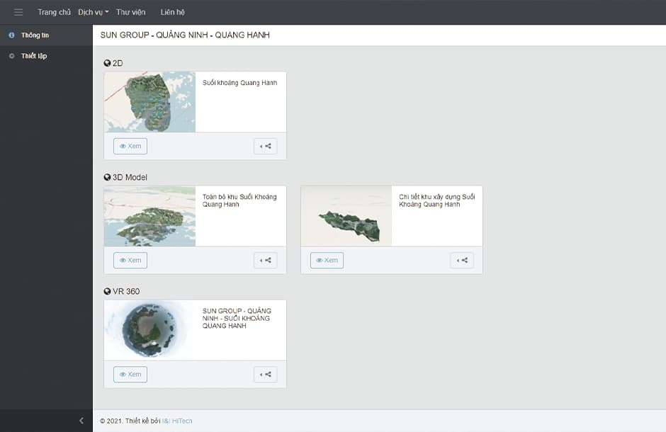
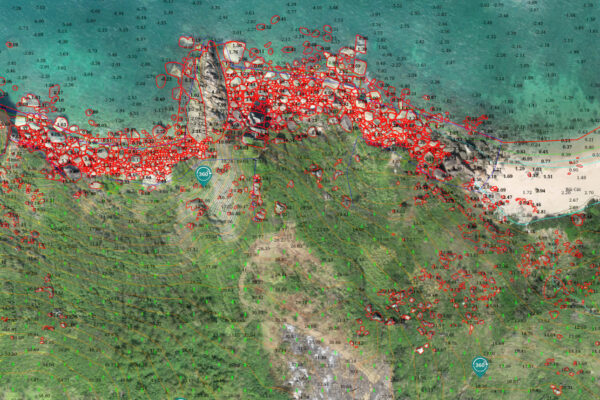
VR360
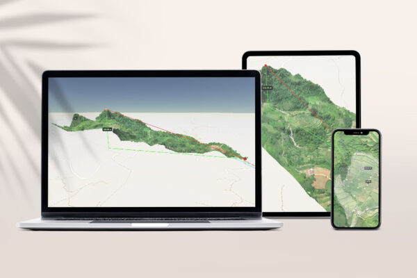
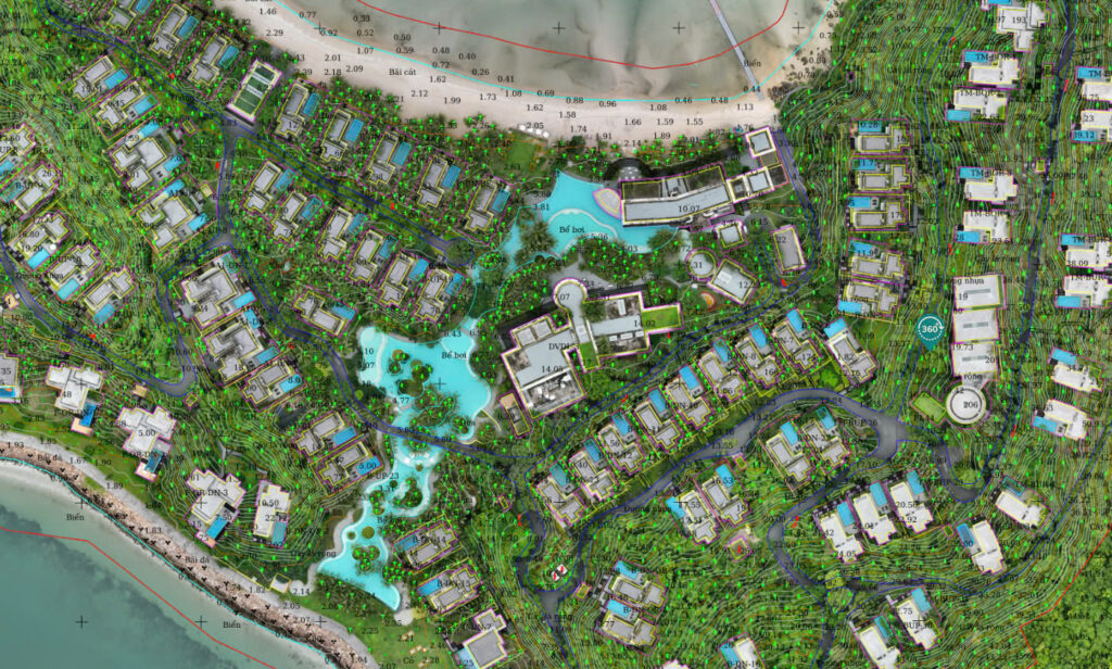
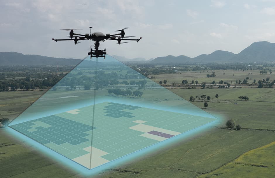
Online geospatial data platform

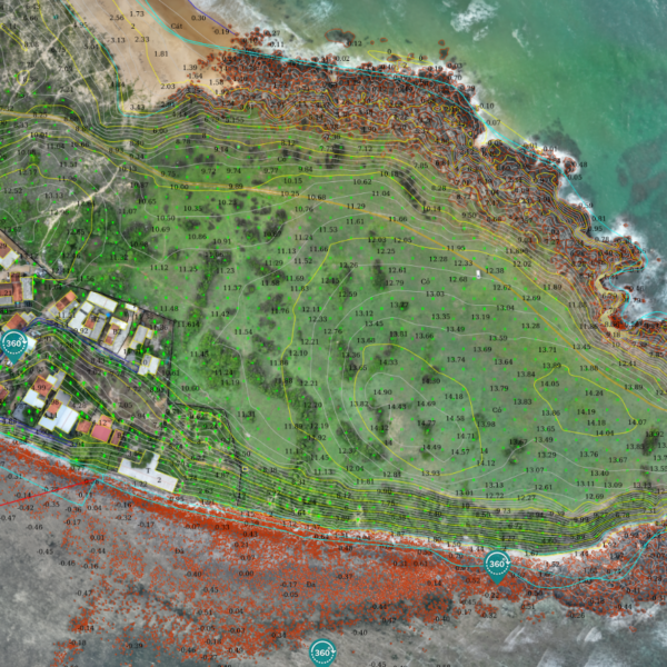
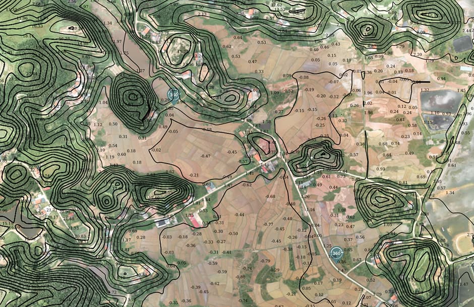
Automated excavation and filling calculations
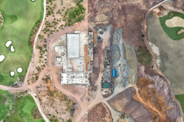
Calculate and compare construction progress
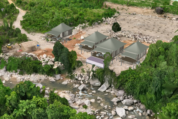
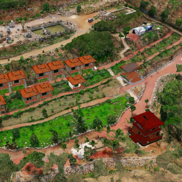
Integrate online design projects into 2D, 3D
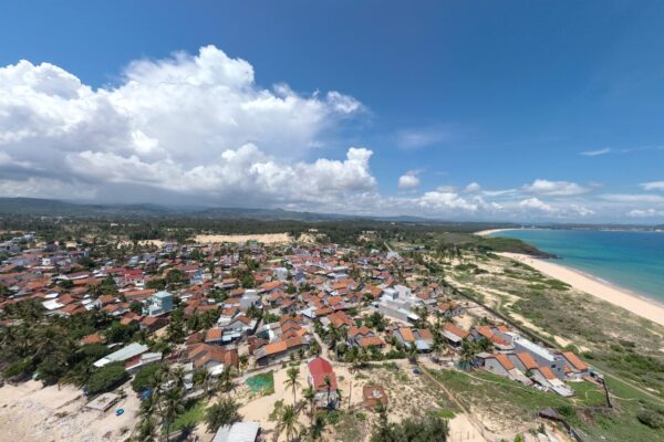
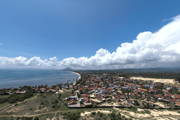
Inspecting the views of each construction site before building

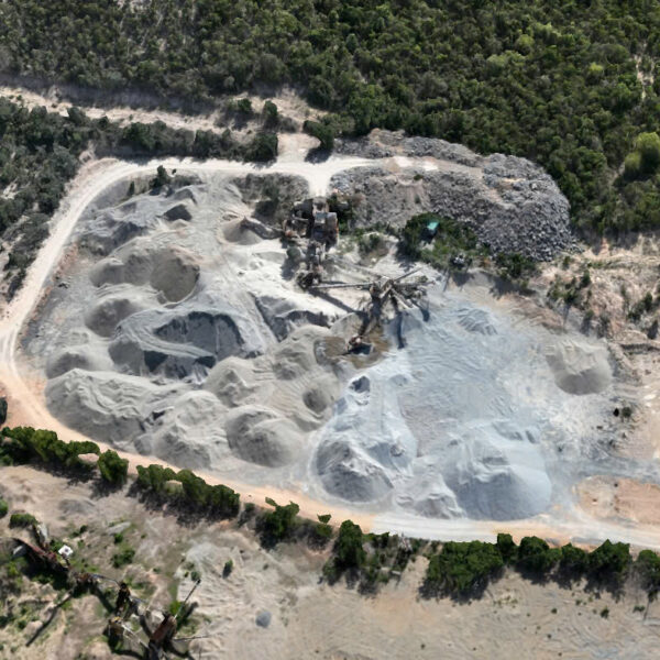
Scan expand 2D, 3D products to serve the inspection of bordering areas