01
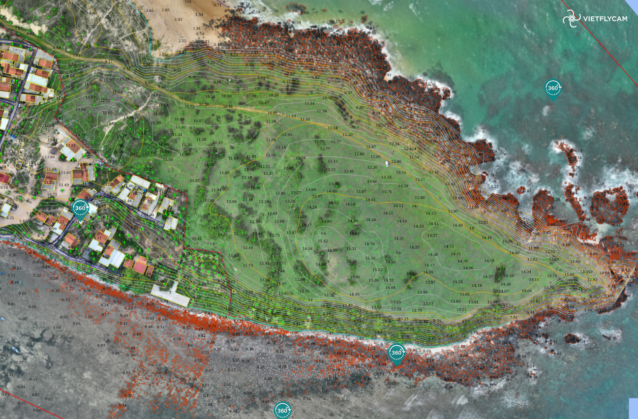
Digital surveying and mapping
Viet-Flycam provides drone solutions for 3D scanning with a flycam, digital surveying, and comprehensive mapping..
03
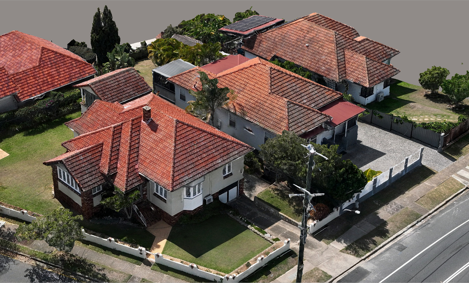
3D Scanning – Current State Survey
Application of 3D scanning in various fields to accurately determine current conditions and utilize resources through inspection, statistics, and scanning flights with specialized UAVs
02
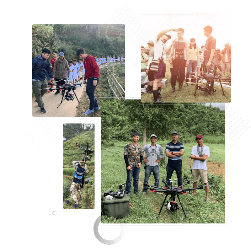
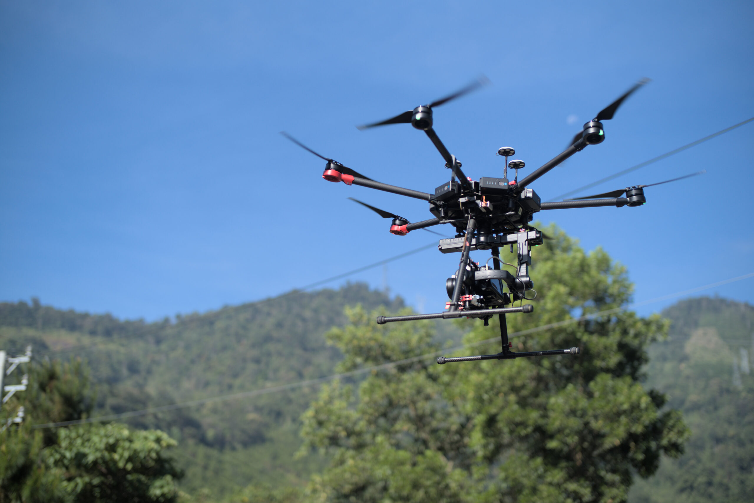
Filming and photographing with a Flycam
Viet-Flycam develops cutting-edge image technology for the next generation of filmmakers
04
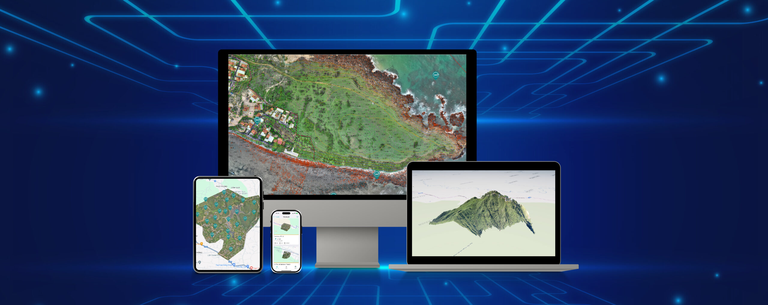
Digital data storage and display platform
The largest and only online map data display software system has ever been deployed in Vietnam.

Add Your Tooltip Text Here
Add Your Tooltip Text Here
Add Your Tooltip Text Here
Add Your Tooltip Text Here
Add Your Tooltip Text Here