

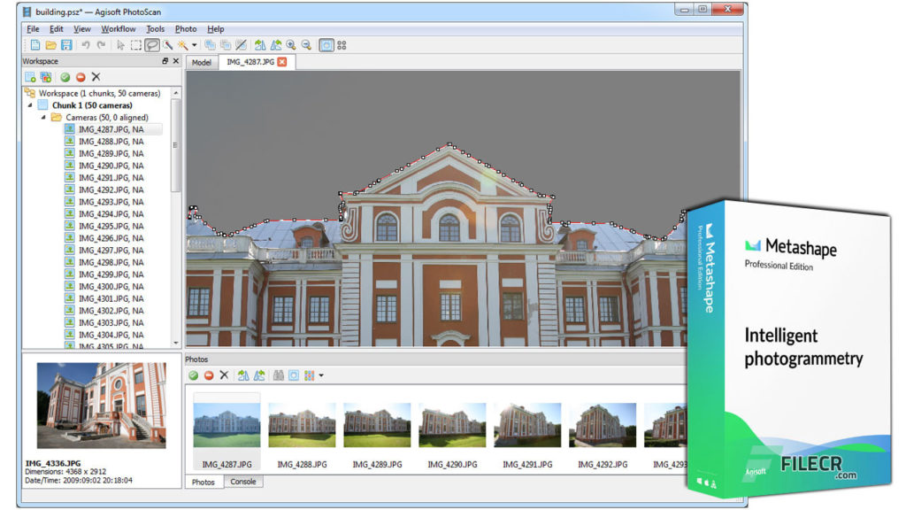
Agisoft Metashape software is quite familiar in the surveying world and is used for its features as well as the safety and accuracy of geodetic data. Agisoft Metashape is software used to process and transform images taken by unmanned aerial vehicles for the purpose of collecting image data into 2D, 3D spatial data as required in the work. geodetic.
Mục lục
- 1 Basic introduction of Agisoft Metashape software
- 2 Application of Agisoft Metashape software in geodetic data processing
- 2.1 Triangular photometric method
- 2.2 Editing and grading point clouds
- 2.3 Digital elevation model: DSM/DTM . format
- 2.4 Geo-referencing visuals
- 2.5 Terrestrial laser scanning (TLS) registration
- 2.6 Ground control point
- 2.7 Measurements: distance, area, volume
- 2.8 Stereometric measurement
- 2.9 3D modeling: create and texture
- 2.10 Create panoramas
- 3 Experience automatic geodetic data processing using the Tracdiaso . platform
Basic introduction of Agisoft Metashape software
Agisoft Metashape is software used to process and transform images taken by unmanned aerial vehicles for the purpose of collecting image data into 2D, 3D spatial data as required in the work. geodetic.
Agisoft Metashape professional software processes digital images, creates 3D spatial data in the form of point clouds, digital models and merges snapshots to create orthogonal images Besides, the software also has functions like adding visual effects, making indirect measurements of objects at various scales.
Agisoft’s applications are used in areas such as: GIS geospatial information, preserving architectural cultural heritage and supporting the making of scale maps.
Application of Agisoft Metashape software in geodetic data processing
Triangular photometric method
- Process different types of images: aerial (nadir, oblique), close range, satellite.
- Auto correction: frame (including fisheye), spherical and cylindrical camera.
- Supports multi-camera projects.
- Scanned image with fiducial mark support.
Editing and grading point clouds
- Build edit models for accurate results.
- Automatic multi-layer point classification for further reconstruction customization.
Digital elevation model: DSM/DTM . format
- Digital Surfaces and or Digital Terrain Models – depending on the project.
- Geo-referencing based on EXIF/flight log meta data, GCP data.
- Support EPSG registered coordinate system: WGS84, UTM, etc.
- The longitudinal data are configurable based on geoid undulating grids.
Geo-referencing visuals
- Georeferencing visualization: GeoTIFF format most compatible with GIS; KML files will be placed on Google Earth.
- Export in batches for large projects.
- Color correction for uniform texture.
- Shading filters are available to combat artifacts caused by moving objects.
- Custom planar and cylindrical projection options for close-up projects.
Terrestrial laser scanning (TLS) registration
- Simultaneous adjustment of both laser scanner and camera positions.
- Ability to combine TLS and optical depth maps.
- Automatic target detection and marker support for manual alignment of scanner data.
- Masking tools to ignore unwanted objects in the scanner data.
Ground control point
- Enter GCP ground control points to georeference and control the accuracy of results.
- Automatically detect encrypted/unencrypted targets for fast GCP import.
- Scale bar tool to set the reference distance without performing device positioning.
Measurements: distance, area, volume
- Instruments are available to measure distances, areas and volumes.
- For more complex data analysis, the products of optical image processing can be smoothly transferred to external tools thanks to a variety of export formats.
Stereometric measurement
Professional 3D display and 3D controller support precise and convenient stereoscopic vectors for measurement purposes and features.
3D modeling: create and texture
- Various scenes: archaeological sites, artifacts, buildings, interiors, people, etc
- Upload directly to various online resources and export to a variety of popular formats.
- Real photo textures: Supports HDR and multi-file (including UDIM layouts).
Create panoramas
- 3D reconstruction for data captured from the same camera location – camera station, provided there are at least 2 camera stations.
- 360° panorama stitching for single-camera data.
Experience automatic geodetic data processing using the Tracdiaso . platform
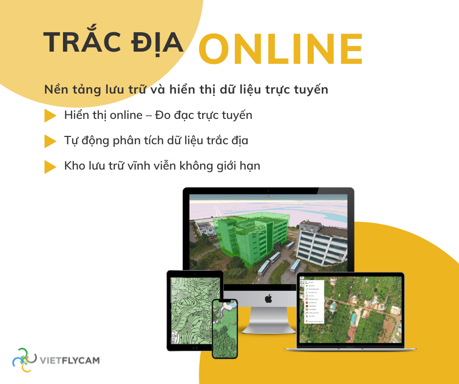
As the first geodetic data processing platform founded and deployed in Vietnam, AutoTimelapse’s Tracdiaso platform optimizes the features of existing geodetic data processing platforms and upgrades with new features. automatically process and display online data
The technology automatically processes raw data: image centers, drone images, GCP, PPK points, .. into geodetic products: 2D geodetic maps, 3D models, VR360 images accurately and quickly.
Data processing process
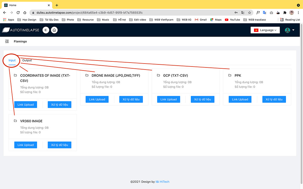
01. Data collection
1. Go to dulieu.autotimelapse.com to register if you don’t have an account yet
2. Click “Add Project” to create your new project
3. Upload files according to the correct headings in “Input”
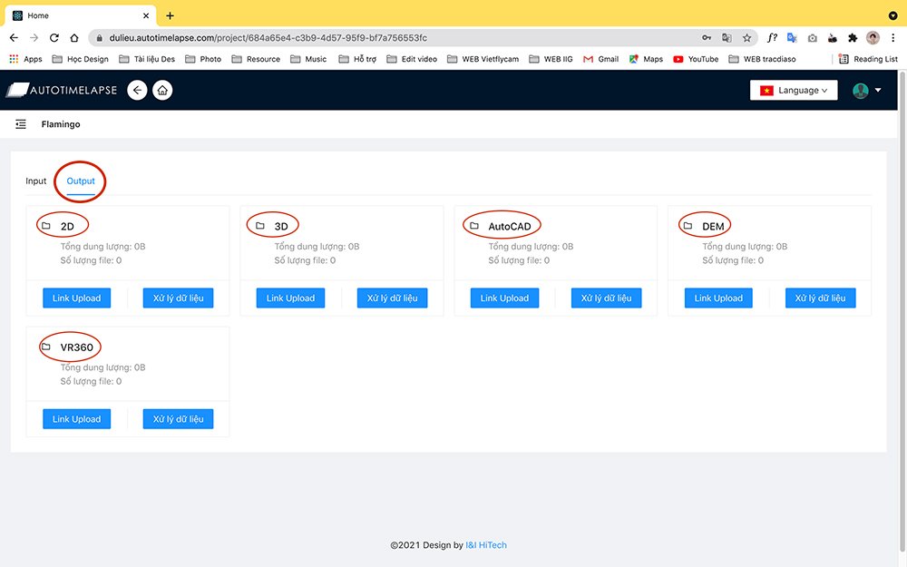
02. Data processing
1. Register to process the necessary data: 2D, 3D, VR360, edit maps for raw data to be entered into the system and process data automatically
2. Upload processed data to “Output”
03. Data display
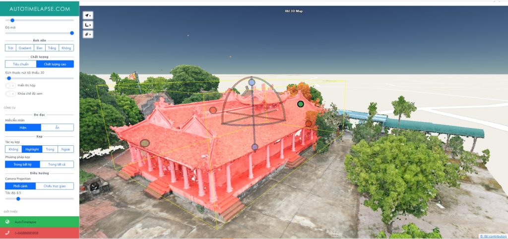
1. Build 2D, 3D visual maps of the scanned flight area
2. Build scale maps, current status maps for visual assessment of the survey area
3. Online measurement and calculation of the entire survey area from the input data source
4. Compare data through each survey to help investors grasp the construction progress
Register for an account to experience the data processing platform Tracdiaso
Offering a user-friendly experience, the Tracdiaso platform is designed with an easy-to-use interface. Geodetic work for current status measurement, surveying, mapping , site clearance,… is done simply and quickly. The digital geodetic platform supports online data storage, display, and analysis.
Learn more at
Contact us:
Phone number: 0917111392 – 0869191996
Email: Vietflycam1102@gmail.com
Website: https://vietflycam.vn
Youtube: http://www.youtube.com/c/VietFlycam
Giải pháp máy bay không người lái Việt-Flycam
Hotline: 0917.111.392 - 0869.191.996
Địa chỉ: Tòa nhà D8, Đại học Bách Khoa Hà Nội, Trần Đại Nghĩa, Hà Nội, Việt Nam
Email: Vietflycam1102@gmail.com
Youtube: https://www.youtube.com/channel/UCgRFxKxd2vt5gn_mbS1sJgA