

Pix4Dmapper for processing geodetic data is one of the most advanced software available today. Pix4D provides two main functions of compositing ground images and building elevation models with high accuracy, meeting strict standards for cartography.
Mục lục
Learn about Pix4Dmapper software in geodetic data processing
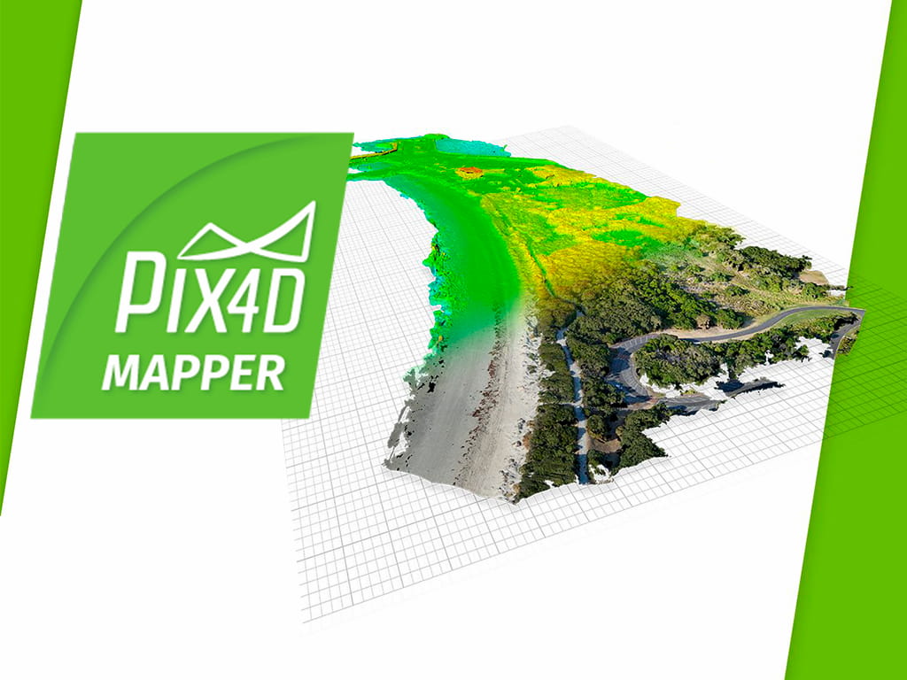
Pix4D is one of the most advanced drone image processing software available today. Pix4D provides two main functions of compositing ground images and building elevation models with high accuracy, meeting strict standards for cartography.
In addition, Pix4D also builds 3D models, creates vivid fly-through animation videos that are very suitable for inspection and construction supervision. Pix4Dmapper software is currently being used by many organizations and companies in the geodetic industry to build applications to improve productivity and work efficiency.
Drone technology application and Pix4Dmapper software
Processing of input geodetic data
The processing of ground images from drones includes three main input data sets:
- Ground images from flying devices (Images)
- Geo Control Points (Geo Control Points)
- Diagram of measuring and drawing to check
Ground shots include images and photos taken from above by unmanned aerial vehicles. Each project of ground photography usually has the number of photos ranging from a few dozen to several thousand, depending on the size of the project and the accuracy requirements.
Ground control point is statically measured by GPS method.
The test plot is measured by the RTK method or the total station method. The inspection plan needs to have high accuracy and appropriate density of measurement points to ensure the quality of the ground image.
Using drones in ground photography
The use of drones for photography can be done manually or through an automated flight system.
Before flying, the scope of the project must be clearly defined in order to design a reasonable flight path. The scope of the flight path must cover the entire project scope.
Photos taken in succession always have a certain coverage. The coverage between successive images is at least 50% and as high as 85% depending on the job requirements and accuracy. The thicker the coverage, the higher the accuracy, the better the 3D model building, but the heavy input data and the more time consuming to process.
Set control point
Control points of coordinates and ground elevation will be measured by static GPS measurement method. The control point must be evenly distributed throughout the measuring area.
Control points will be marked with ground targets. When conducting flight shooting, the ground targets will be clearly displayed on the image, helping the image manipulation and image processing to take place smoothly and the results will be highly accurate.
Process images with Pix4Dmapper
Image processing with Pix4D software includes three main steps:
Step 1: Preliminary treatment
- The set of images taken from the drone are included in the software for processing. The software will display a map of the location of each image taken from the drone.
- From the set of snapshots, Pix4Dmapper calculates the point clouds that are essential for 2D and 3D modeling.
Step 2: Enter unlimited points
- After the set of images is preliminarily processed, the coordinate control points and ground elevation are entered into the software.
- Select the pixels corresponding to each specified control point and set it up in advance to bring the set of images to the desired coordinate system and optimize the point clouds.
Step 3: Mosaic the ground image and build the 3D model
- After the point clouds have been straightened and optimized, the software takes care of the rest.
- From the point clouds, the software will calculate the interpolation to create a Mesh and then build a floor image or a complete 3D model.
- Stack the RTK or total station plots to check accuracy.
Experience automatic geodetic data processing using the Tracdiaso . platform
As the first geodetic data processing platform founded and deployed in Vietnam, Auto Timelapse optimizes the features of current geodetic data processing platforms and upgrades it with automatic processing. Manage and display online data.
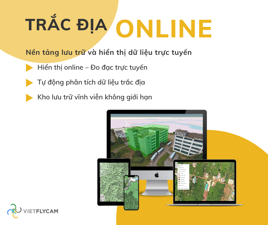
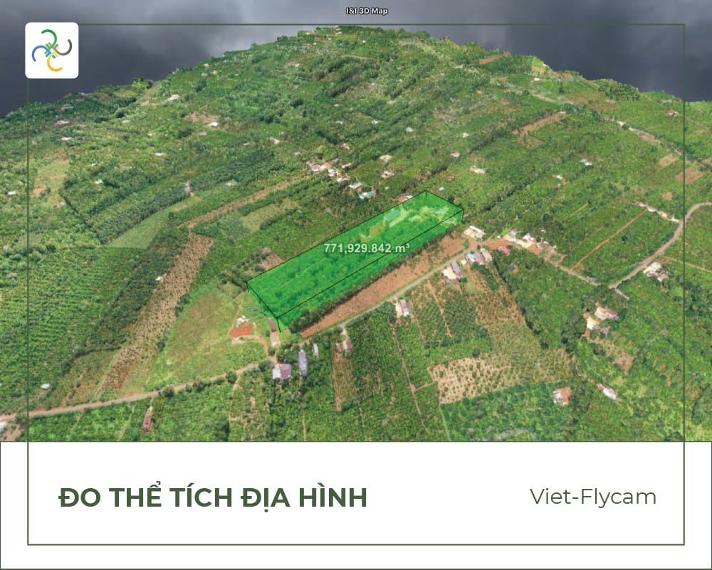
The technology automatically processes raw data: image centers, drone images, GCP, PPK points, .. into geodetic products: 2D geodetic maps, 3D models, VR360 images accurately and quickly.
The Tracdiaso platform was founded by Auto Timelapse
- Process raw data (measurement data) automatically into 2D, 3D maps, technical drawings
- Fast, efficient, save working time
- Online storage, mapping and measurement software tools are integrated on app and web platforms for easy use on mobile devices: phones, tablets
- Share data with customer partners easily with simple and convenient operations
- Reduce manipulation errors, increase objectivity and increase reliability
Experience the Tracdiaso . platform
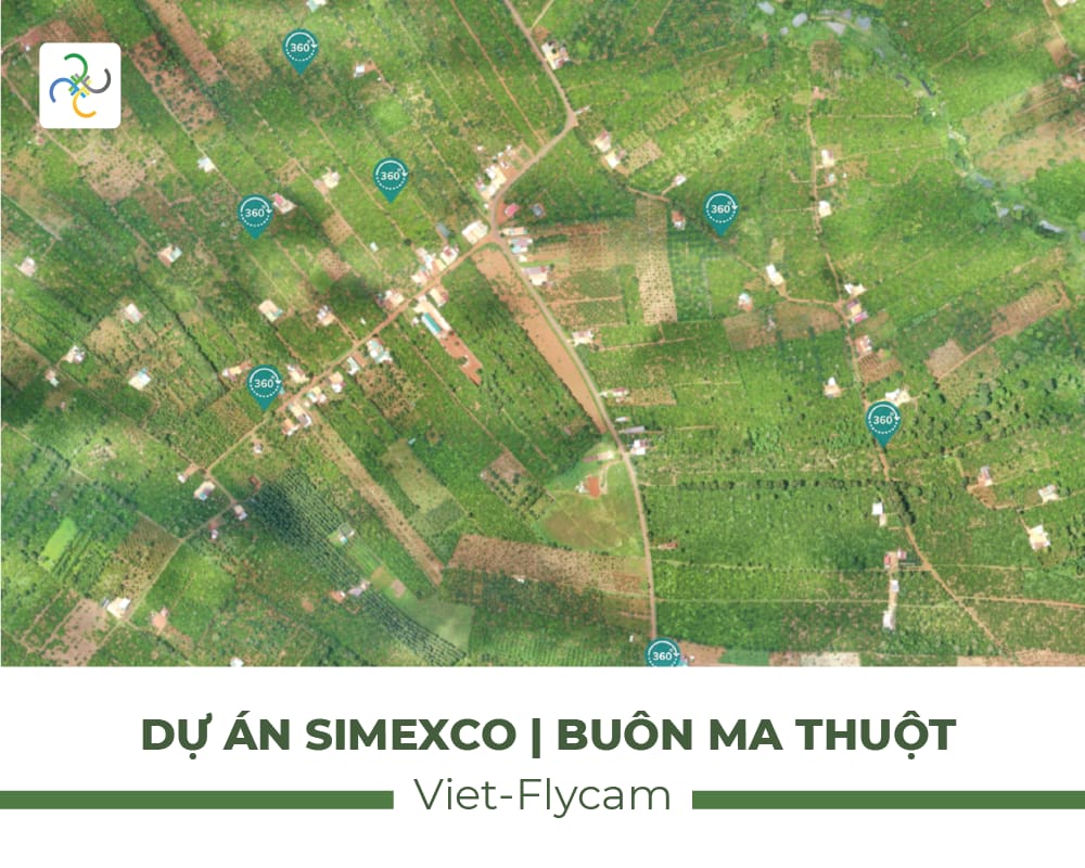
Experience the SIMEXCO Buon Ma Thuot project
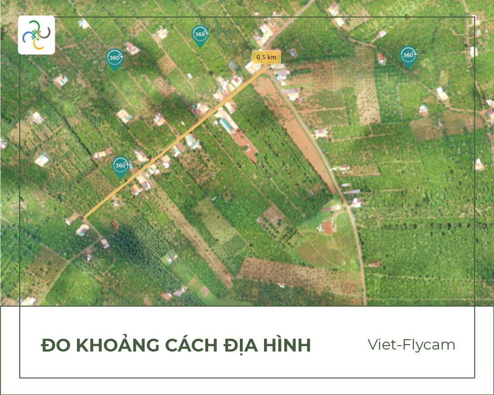
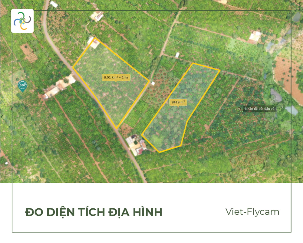
Offering a user-friendly experience, the Tracdiaso platform is designed with an easy-to-use interface. Geodetic work for current status measurement, surveying, mapping , site clearance, etc. is carried out simply and quickly. The digital geodetic platform supports online data storage, display, and analysis.
Contact us:
Phone number: 0917111392 – 0869191996
Email: Vietflycam1102@gmail.com
Website: https://vietflycam.vn
Youtube: http://www.youtube.com/c/VietFlycam
Giải pháp máy bay không người lái Việt-Flycam
Hotline: 0917.111.392 - 0869.191.996
Địa chỉ: Tòa nhà D8, Đại học Bách Khoa Hà Nội, Trần Đại Nghĩa, Hà Nội, Việt Nam
Email: Vietflycam1102@gmail.com
Youtube: https://www.youtube.com/channel/UCgRFxKxd2vt5gn_mbS1sJgA