

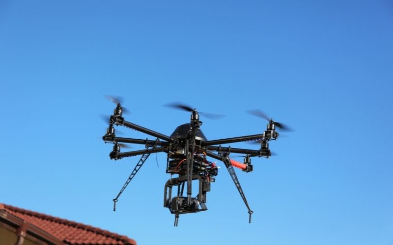
In this article, VietFlycam shares with readers an application of unmanned aerial vehicle to create topographic maps.
In this article, VietFlycam shares with readers an application of unmanned aerial vehicle to create topographic maps.