

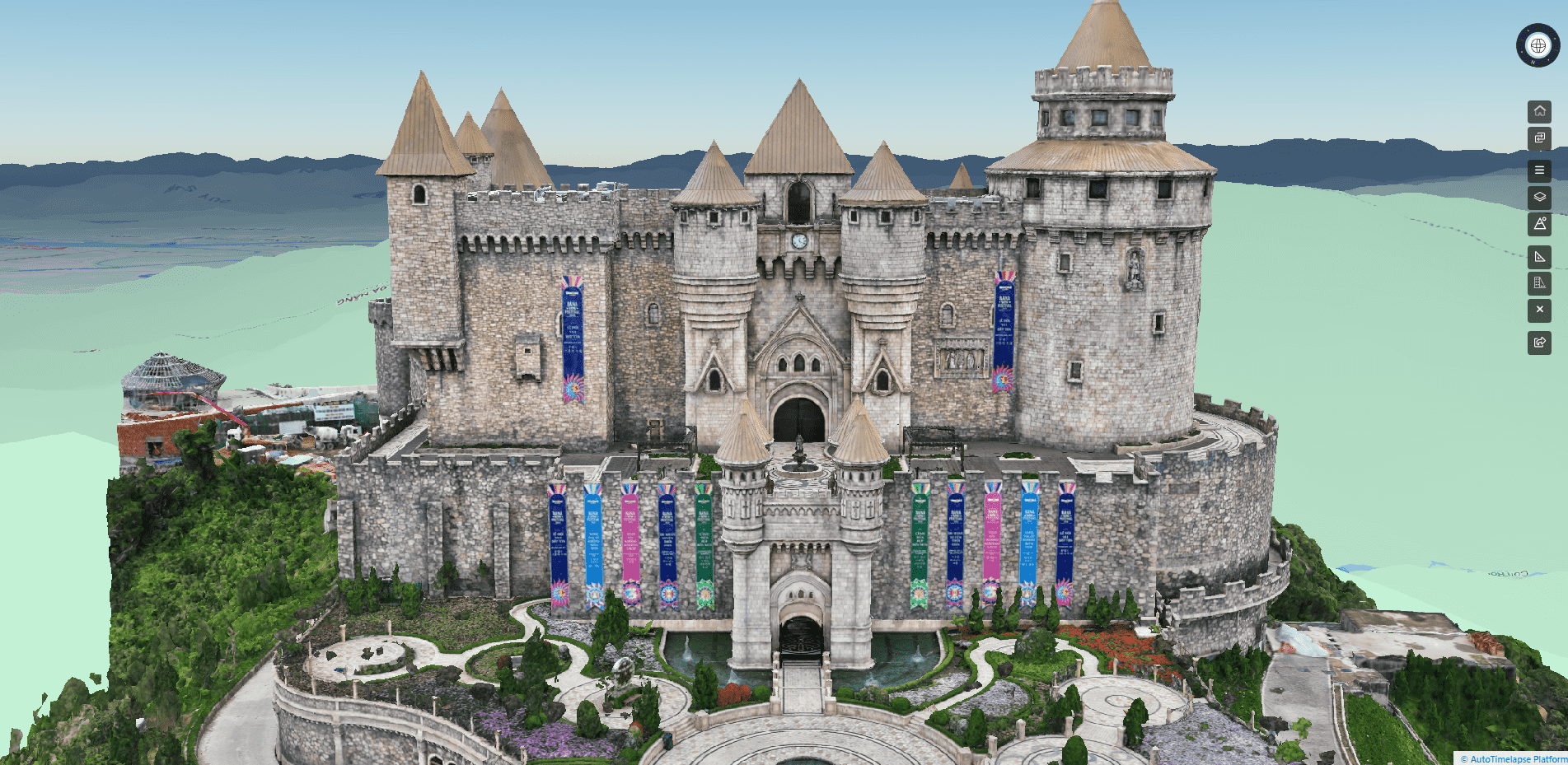
Taking on the survey for the Ba Na Hills Tourist Area Project, VietFlycam employs state-of-the-art 3D scanning technology to deliver the most accurate, detailed, and comprehensive 2D and 3D maps.
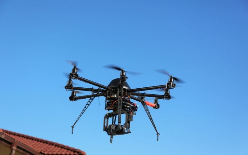
In this article, VietFlycam shares with readers an application of unmanned aerial vehicle to create topographic maps.