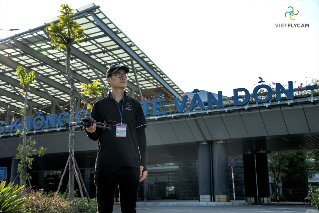
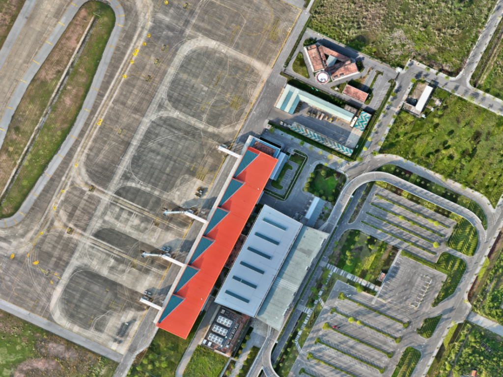
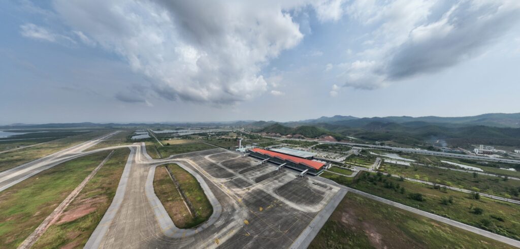
Viet-Flycam conducts topographical surveys of Van Don International Airport using advanced Lidar Scan technology to accurately measure detailed parameters of the runway and airport facilities.

Mục lục
Surveying the topography of Van Don International Airport
Van Don International Airport is the first private airport in Vietnam. It is one of the largest infrastructure projects in Quang Ninh province, invested by Sun Group. With this project, VietFlycam continues to affirm its leading position in the field of 3D surveying and providing comprehensive geospatial solutions using unmanned aerial vehicles.

Applying Lidar Scan technology at Van Don International Airport
Proud to be the current surveying unit for the status of Van Don International Airport, VietFlycam brings advanced Lidar surveying technology to accurately measure detailed parameters of the runway and airport facilities.
In just 3 working days, the VietFlycam team completed the survey of a 200ha project area at a scale of 1/500, creating detailed 2D and 3D models to serve planning and design tasks. The high-resolution 3D product vividly displays the surface details of the airport terrain and facilities.
With a professional and experienced team, VietFlycam guarantees efficiency and quality in each stage of the survey. Utilizing the Matrice 300 RTK and Lidar L2, along with specialized processing software, ensures advanced surveying technology, guaranteeing centimeter-level accuracy.


Comprehensive geospatial surveying package at VietFlycam
Survey for 2D drawing creation


Survey for 3D drawing creation

Topographic map at 1:500 scale

VR360

Viet-Flycam provides professional aerial topographic surveying services using unmanned aerial vehicles.
Viet-Flycam is trusted by customers to carry out terrain surveys to meet the needs of assessing current situations, appraisals, planning, and design. Viet-Flycam applies online geospatial technology to automate data processing and editing, ensuring three key factors: SPEED, ACCURACY, and COST-EFFECTIVENESS.
Viet-Flycam – A leading company providing unmanned aerial vehicle services:
– Collecting, processing, displaying, and storing geospatial data online
– Automatically processing scanned data into 2D and 3D models; maps at scales of 1:500, 1:2000, 1:5000; cadastral maps and products for planning, clearance, filling, topographic surveys, etc.
– Surveying, calculating, and editing maps with simple operations, ensuring the accuracy and objectivity of terrain parameters
– Sharing geospatial data with partners, customers. Data security is ensured with features like permission control and editing restrictions.
Giải pháp máy bay không người lái Việt-Flycam
Hotline: 0917.111.392 - 0869.191.996
Địa chỉ: Tòa nhà D8, Đại học Bách Khoa Hà Nội, Trần Đại Nghĩa, Hà Nội, Việt Nam
Email: Vietflycam1102@gmail.com
Youtube: https://www.youtube.com/channel/UCgRFxKxd2vt5gn_mbS1sJgA
