
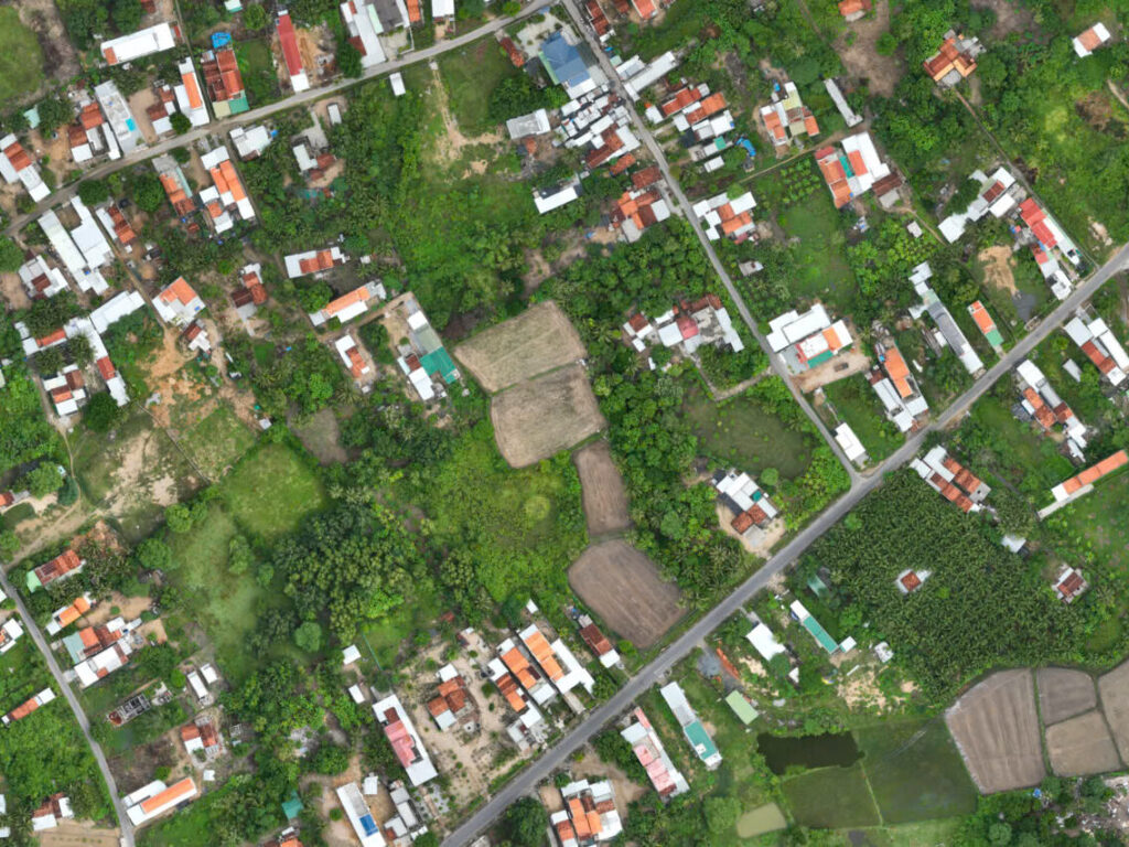
With the vast scale of the Vân Phong project spanning thousands of hectares, Viet-Flycam conducts aerial scanning using 3D scanning technology to provide a complete set of products including 2D and 3D models, topographic drawings, VR360 for assessing the current state, planning, and designing construction proposals.
Mục lục
Topographic survey of the Van Phong project in Khanh Hoa province
As one of the economic zones attracting many investors in Khanh Hoa province, the Van Phong Economic Zone is located in the northern part of Khanh Hoa province, approximately 30km north of Nha Trang city. It was established by the Prime Minister under Decision No. 92/2006/QD-TTg on April 25, 2006, covering a total area of about 150,000 hectares (70,000 hectares of land and 80,000 hectares of water in Van Ninh district and Ninh Hoa town, Khanh Hoa province).
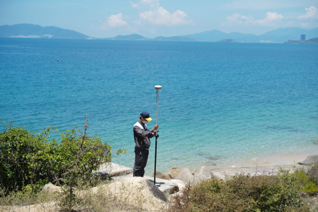
Viet-Flycam, trusted by Sun Group as the investor of the project, has been entrusted with the task of conducting topographic surveys for the Van Phong project. With the total scale of projects reaching thousands of hectares, aerial terrain scanning is carried out to capture an overview of the area, aiding in planning orientations and conceptualizing future design goals.
Comprehensive geospatial surveying package at VietFlycam
Survey for 2D drawing creation

Survey for 3D drawing creation

Topographic map at 1:500 scale

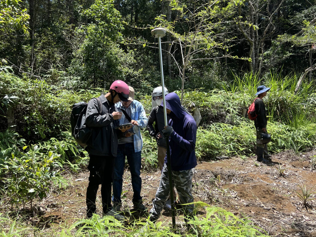
Viet-Flycam – Professional topographic survey using unmanned aerial vehicles
Viet-Flycam – A leading company providing unmanned aerial vehicle services:
With projects spanning thousands of hectares, aerial terrain scanning is conducted to capture an overall image of the area, aiding in planning orientations and conceptualizing future design goals.
The most prominent advantage is the survey progress over a large scope:
– Level 1 terrain: capable of scanning 600 hectares per day
– Level 6 terrain: capable of scanning up to 100 hectares per day
Quality is coupled with quantity, as evidenced by the hundreds of projects Viet-Flycam has completed nationwide.
Viet-Flycam – A leading company providing unmanned aerial vehicle services:
– Real-time data collection, processing, display, and storage of geospatial data online
– Measurement, calculation, and editing of maps with simple operations to ensure accuracy and objectivity of terrain parameters
– Sharing geospatial data with partners and clients. Data security is ensured through access control and editing restrictions
– Data from aerial scans is automatically processed into 2D and 3D models; scale maps at 1/500, 1/2000, 1/5000; cadastral maps and products for planning, clearance, filling, topographic surveys, etc.
Giải pháp máy bay không người lái Việt-Flycam
Hotline: 0917.111.392 - 0869.191.996
Địa chỉ: Tòa nhà D8, Đại học Bách Khoa Hà Nội, Trần Đại Nghĩa, Hà Nội, Việt Nam
Email: Vietflycam1102@gmail.com
Youtube: https://www.youtube.com/channel/UCgRFxKxd2vt5gn_mbS1sJgA