SEARCH FOR MISSING PERSONS USING UNMANNED AERIAL VEHICLES
Flycam Scan 3D has the capability to generate accurate 3D maps of affected areas, improving search and rescue capabilities. The unmanned aerial vehicle is equipped with infrared sensors to search for objects and individuals trapped within the search area. As a result, hard-to-reach areas can be surveyed and identified quickly and effectively.
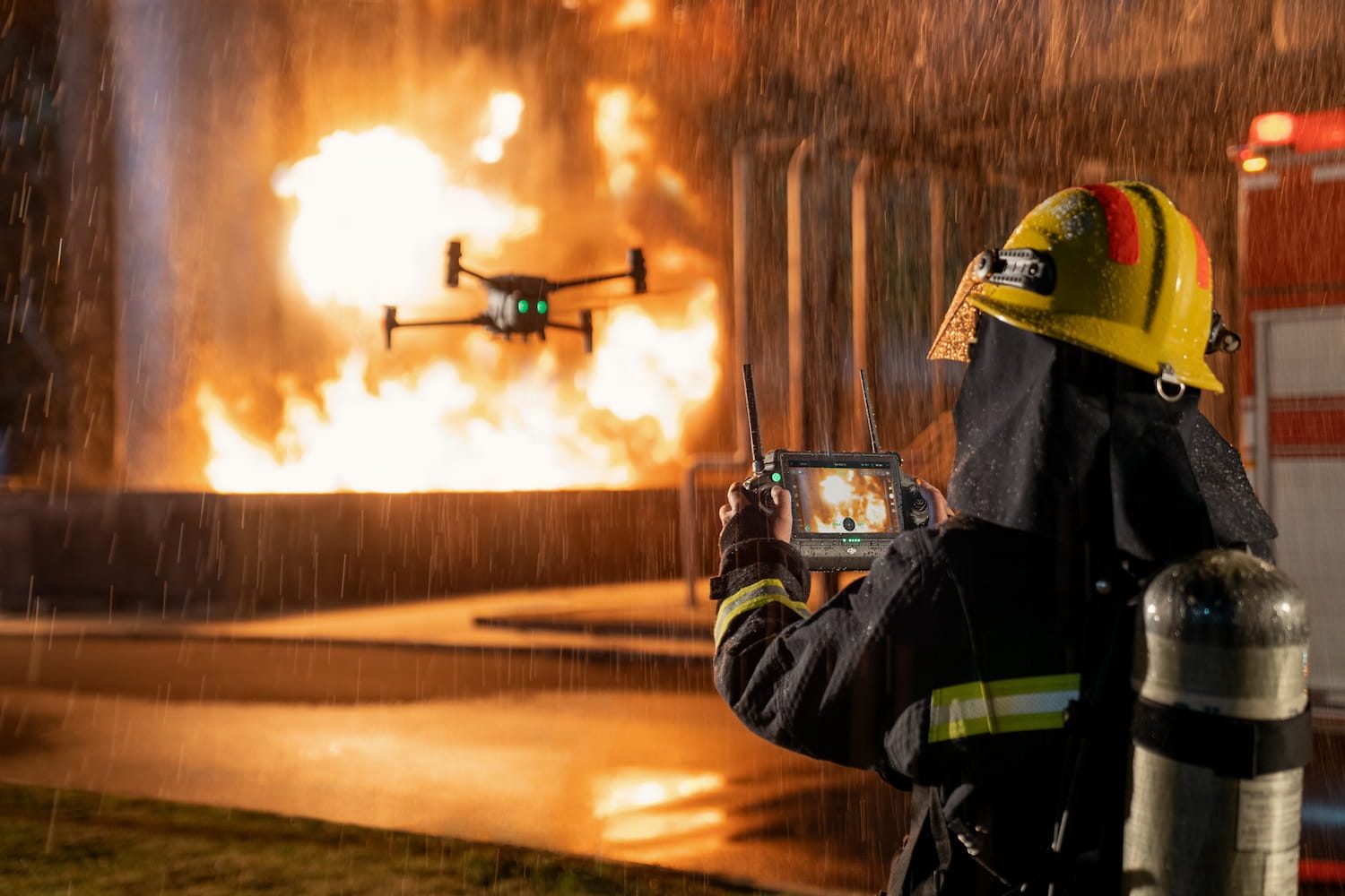
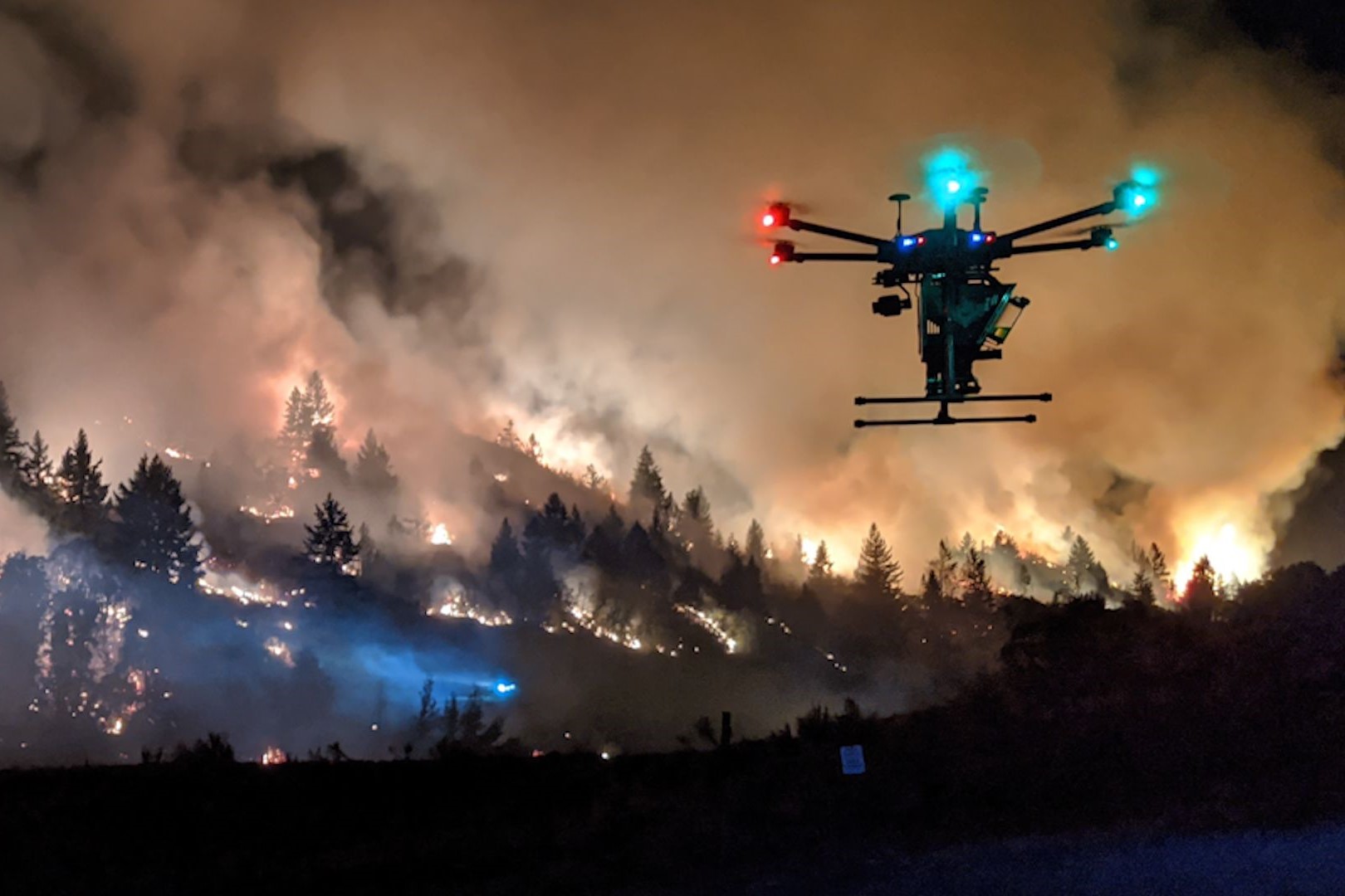
FOREST FIRE INSPECTION AND DETECTION
Unmanned aerial vehicles are equipped with thermal sensors to detect fire-prone areas and hotspots. Afterward, Flycam Scan 3D can generate accurate maps of the fire location and scale, enabling firefighting personnel to plan and extinguish the fire quickly and effectively.
Through optimal communication solutions, technologies, and services, Viet-Flycam wishes to create quality products, contributing to promoting the image of the country and the people of Vietnam to the world.