Check the boundaries of actual forest plots and those on the register, organize the construction of forest protection fences.
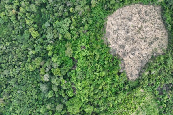
Current status of the forest: Natural forest, Planted forest, shrubs, felled trees
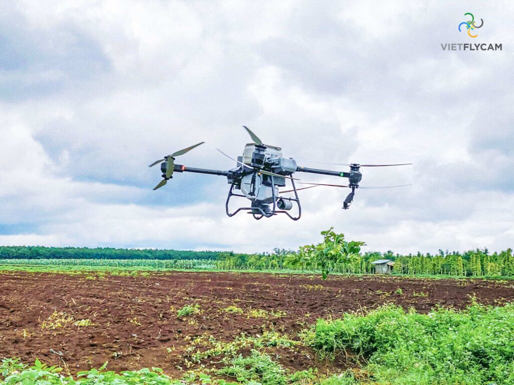
Check the status of the forest with an automatic flycam
Count the number of trees in the forest
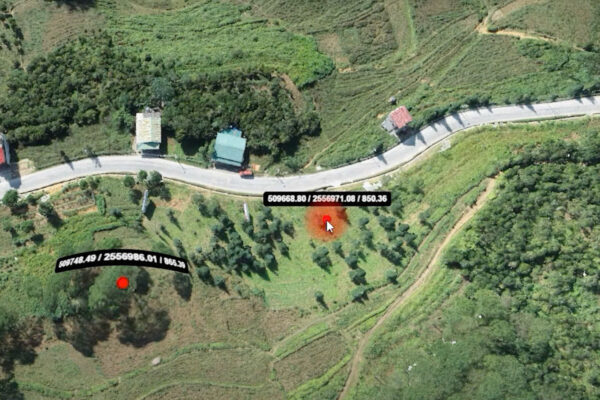
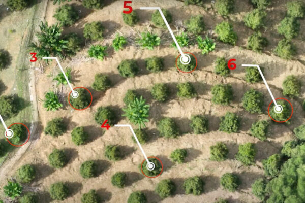
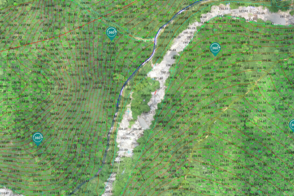
Determine the position, coordinates, canopy circumference, and root diameter of the tree
Classify trees, tree species, leaf colors
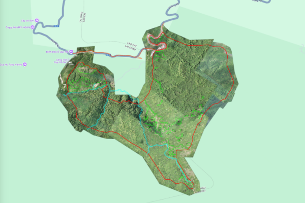
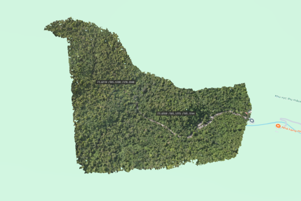
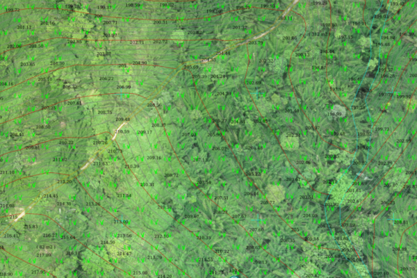
Create a topographic map of the forest area for reforestation and forest management purposes
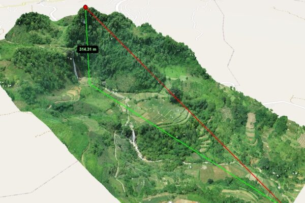
Elevation map of forest areas for assessing tree species suitable for different altitudes
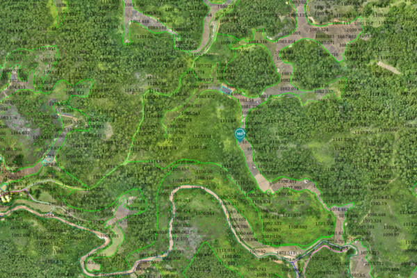
Establish forest transportation routes to facilitate movement and patrols
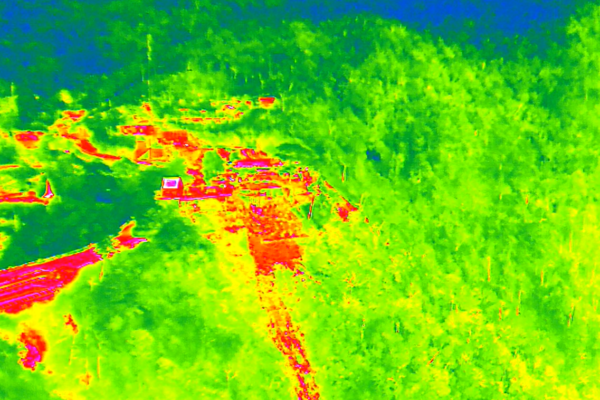
Thermal drone detects wildlife in the forest, checks for deforestation
Identify water sources and streams for water supply
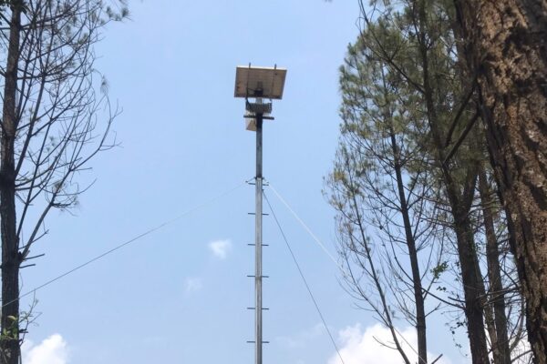
Utilize a wide-angle Autotimelapse camera (170 degrees) to detect smoke, alert forest management about the risk of wildfires