

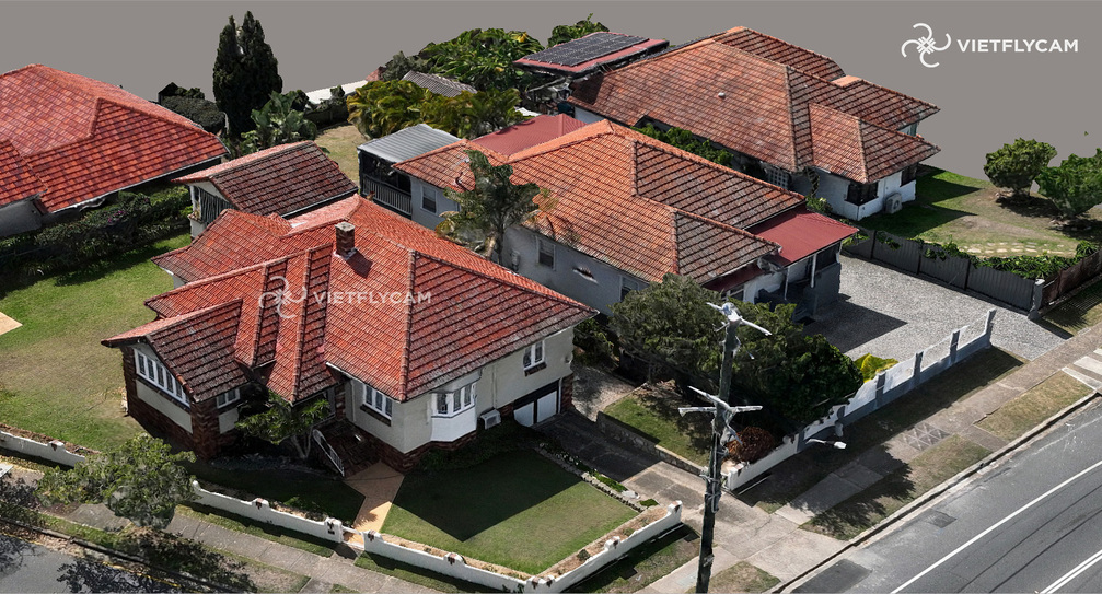
Digital surveying and mapping
VietFlycam is a leading company providing drone solutions: 3D scanning, digital surveying, terrain surveying and comprehensive mapping for design, construction, ...
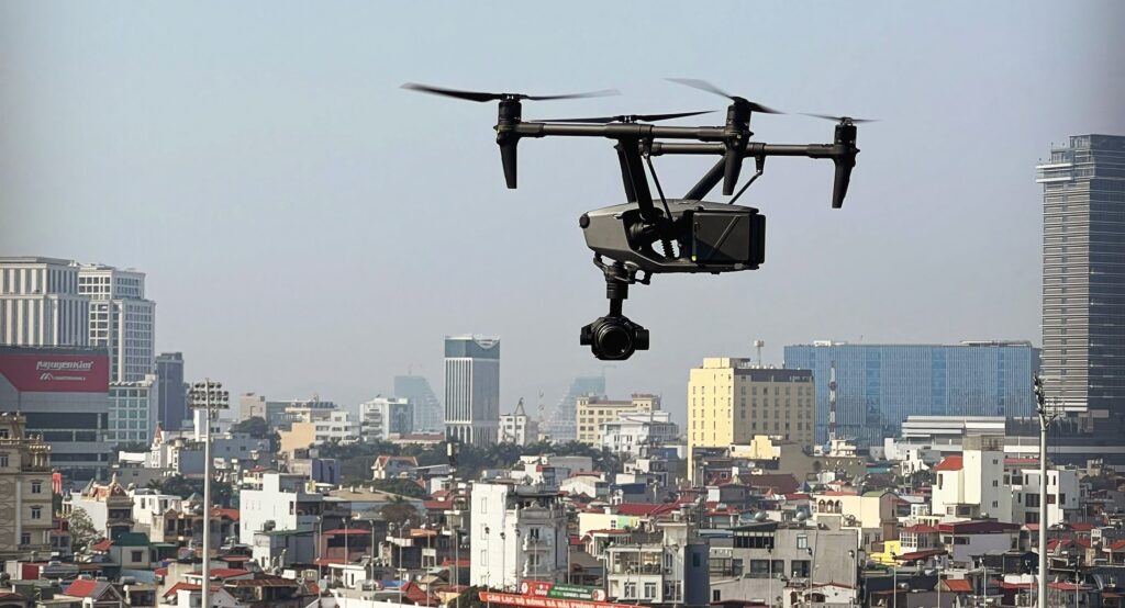
Aerial photography and filming
VietFlycam is a leading provider of aerial filming and photography solutions using professional drones. We accompany filmmakers in creating impressive works of art.
Circular 07/2021/TT-BTNMT
Circular 07/2021/TT-BTNMT stipulates the technical regulations for acquiring and processing digital imagery data from unmanned aerial vehicles (UAVs) to support the construction and updating of the national geographic database at scales of 1:2,000 and 1:5,000, as well as the creation of topographic maps at scales of 1:500 and 1:1,000.