

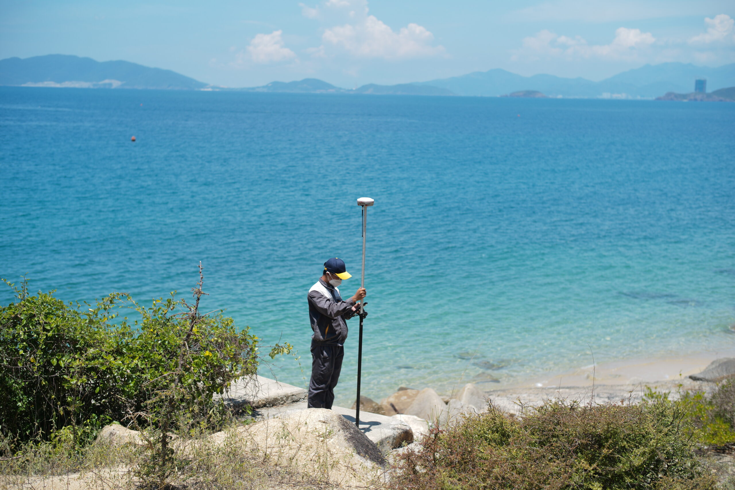
With the vast scale of the Vân Phong project spanning thousands of hectares, Viet-Flycam conducts aerial scanning using 3D scanning technology to provide a complete set of products including 2D and 3D models, topographic drawings, VR360 for assessing the current state, planning, and designing construction proposals.
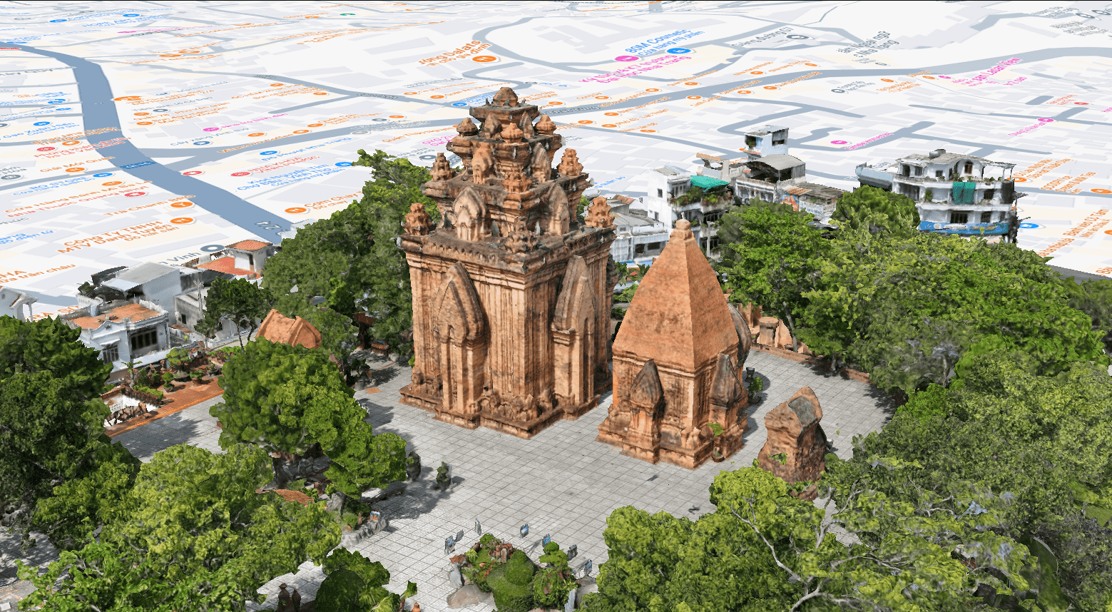
The Ponagar Tower in Nha Trang is a special architectural complex of great cultural and historical value that marks a prosperous period of Hinduism development. Viet-Flycam provides professional 3D scanning services of the current state, offering comprehensive solutions for the preservation and development of historical relics.
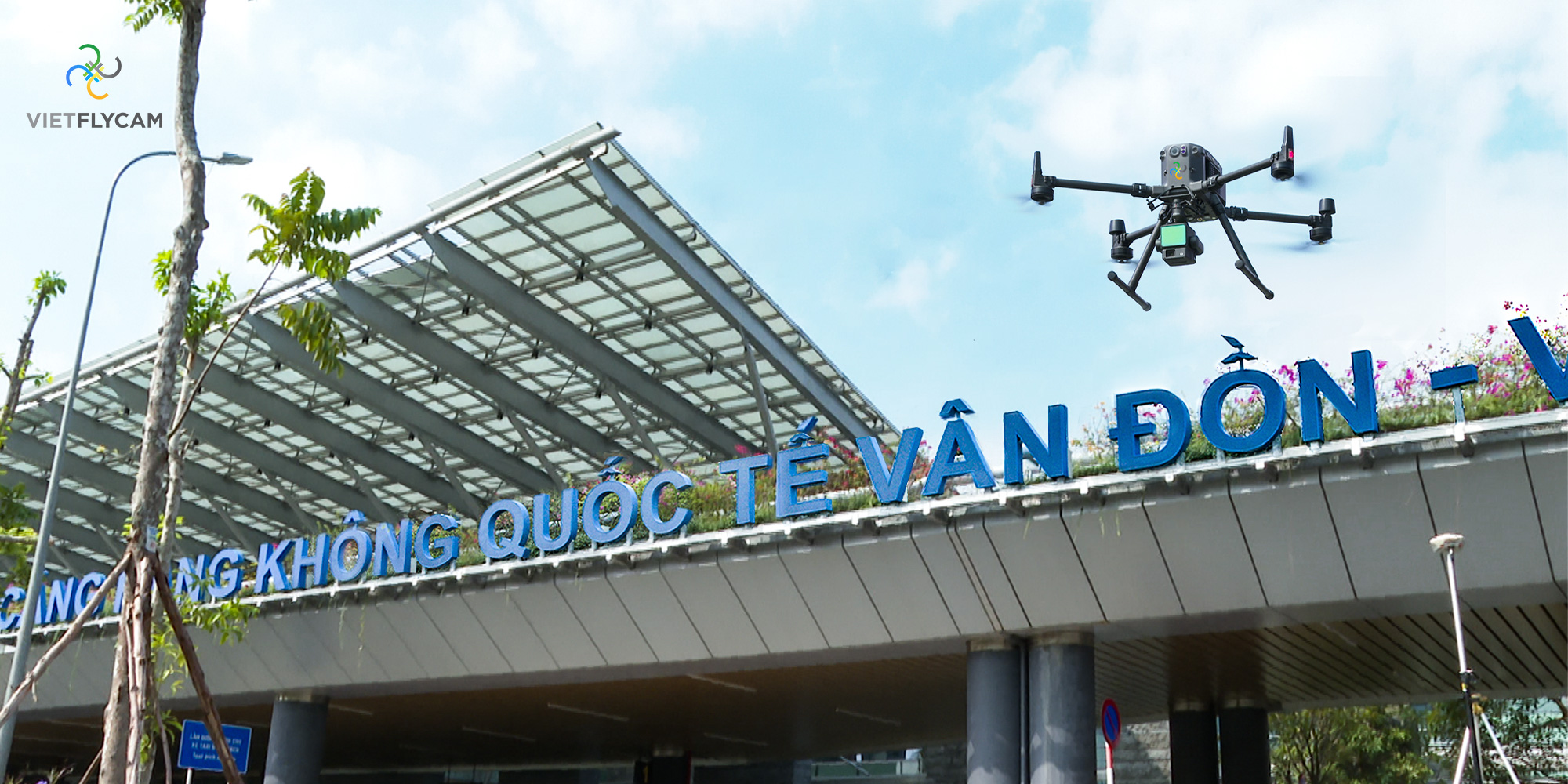
Viet-Flycam conducts topographical surveys of Van Don International Airport using advanced Lidar Scan technology to accurately measure detailed parameters of the runway and airport facilities.