3D SCANning - CURRENT state SURVEY

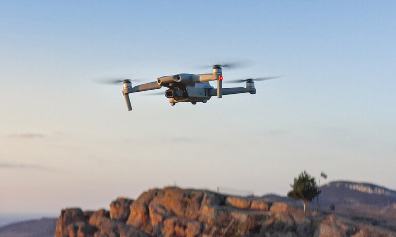
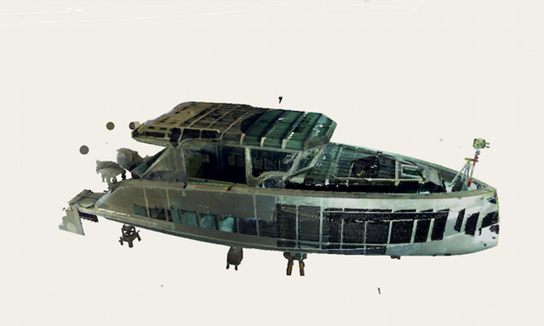
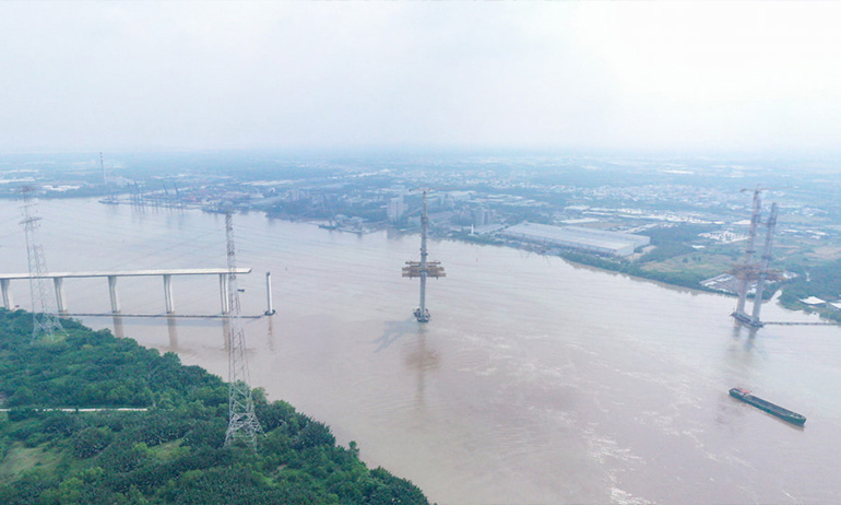
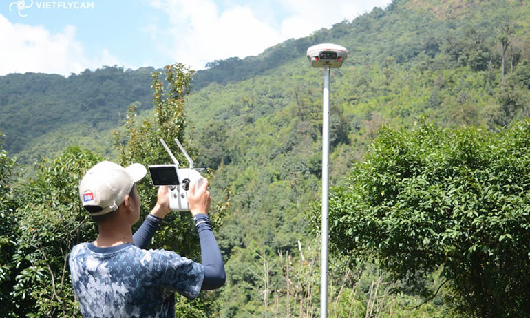
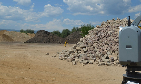
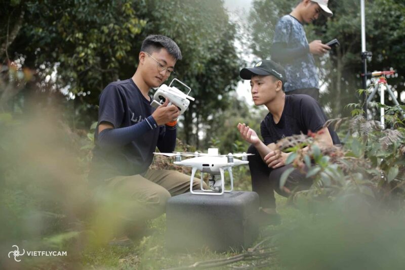
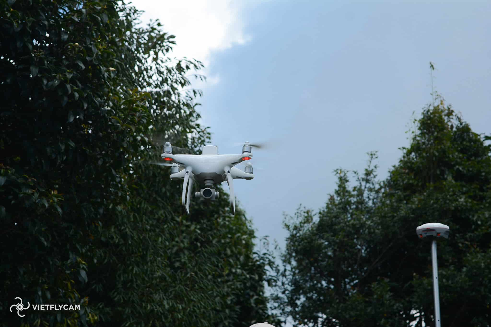
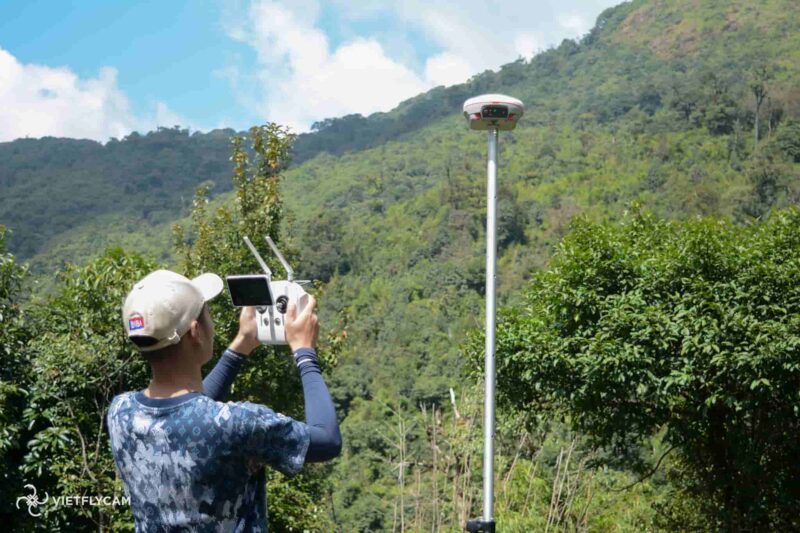
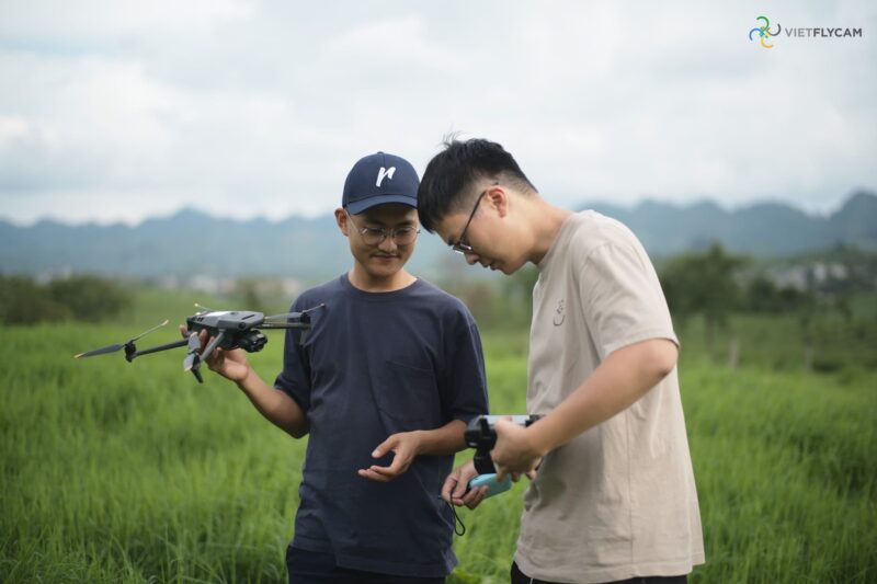
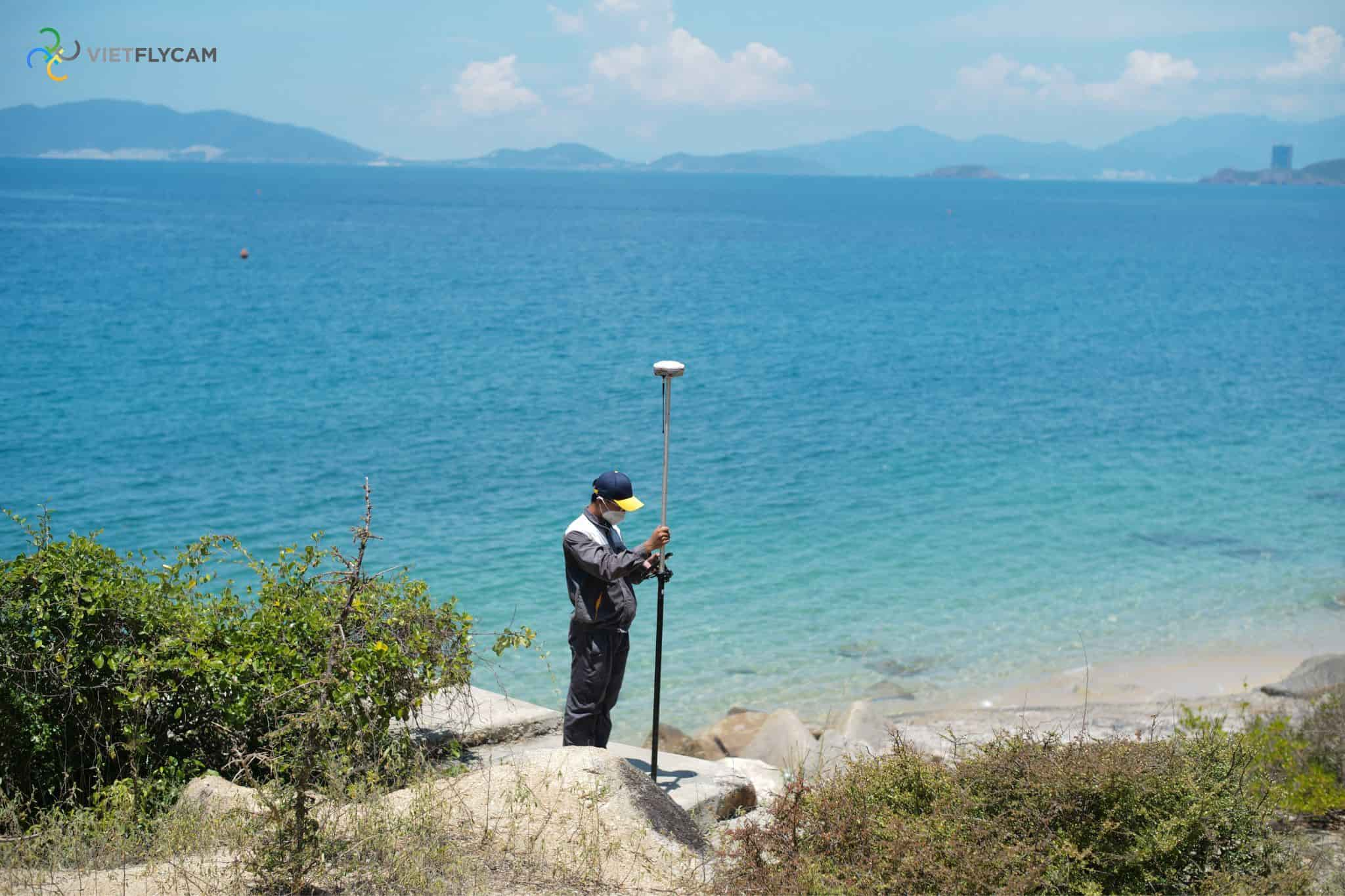
Application of 3D scanning in various fields to accurately determine current conditions and utilize resources through inspection, statistics, and scanning flights with specialized UAVs

APPLICATION FIELDS

cong-trinh-va-toa-nha
Construction and Buildings

  • Assess current conditions, detect technical errors, inspect wear and tear
  • Check building surface temperature

  • LEARN MORE
    Rescue and Emergency Response

  • Search for victims using drones
  • Inspect and detect forest fires

  • LEARN MORE
    Object Scanning

  • Create accurate miniature 3D models of objects
  • Simulate condition assessments for restoration and repair purposes

  • LEARN MORE
    Electricity and Energy

  • Assess and evaluate power lines
  • Inspect the condition and temperature of solar panels
  • Survey the construction of wind power lines

  • LEARN MORE
    Forestry and Agriculture

  • Survey forest area and condition
  • Statistical analysis, identification of tree types and characteristics
  • Inspect for pests and diseases

  • LEARN MORE
    Resources and Minerals

  • Scan mine conditions, calculate mineral reserves
  • Measure volume, weight of coal, stone mines,...
  • Inspect gas and gas pipeline

  • LEARN MORE

    TYPICAL PROJECTS

    Thac Ba Yen Bai- Sun Group

    Quang Ninh - Vinaconex

    Phu Quoc Project - Sun Group

    Flamigo Tien Yen - Flamigo Holing Group

    Silk Path Dong Trieu - Silk Path Group

    Hoa Phat Can Tho - Hoa Phat Group

    VIETFLYCAM OPTIMIZING CUSTOMER EXPERIENCE

    Through optimal communication solutions, technologies, and services, Viet-Flycam wishes to create quality products, contributing to promoting the image of the country and the people of Vietnam to the world.

    subscribe

    Copyright © 2024 Vietflycam by I&I Hitech. All Rights Reserved.

    call
    zalo
    zalo
    FB